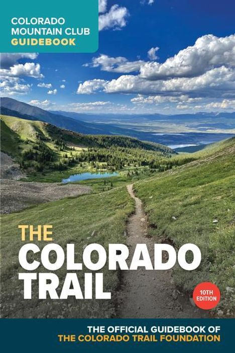
Colorado Trail Foundation: The Colorado Trail, 10th Edition
The Colorado Trail, 10th Edition
Buch
- Amazon Digital Services LLC - Kdp, 02/2024
- Einband: Kartoniert / Broschiert
- Sprache: Englisch
- ISBN-13: 9781937052898
- Artikelnummer: 11742105
- Umfang: 336 Seiten
- Nummer der Auflage: 24010
- Auflage: 10th edition
- Gewicht: 771 g
- Maße: 229 x 152 mm
- Stärke: 28 mm
- Erscheinungstermin: 1.2.2024
Achtung: Artikel ist nicht in deutscher Sprache!
Klappentext
The official guidebook for hiking, bicycling, or horseback riding on the Colorado Trail*Completely revised guide to the Colorado Trail, the premier scenic long trail in North America
*Updated maps of every segment showing access points, key trail intersections, and more
> The Colorado Trail is considered by many to be the most beautiful "long trail" in the world. Spanning 486 miles from the Denver suburbs to Durango, Colorado--plus 80 miles of the Collegiate West addition--the trail passes through six national forests and six wilderness areas, traverses five major river systems, and crosses eight mountain ranges.
The tenth edition of The Colorado Trail has all the information a day hiker, thru-hiker, mountain biker, or equestrian needs to plan and complete a trip on the Colorado Trail. Written descriptions for all 28 segments of the trail, plus 5 segments of the Collegiate West, have been updated throughout the guide. The guidebook includes updated amenities in each trail town for resupply, shopping, and lodging, as well as current details on wilderness detours for bikepacking routes.
Each chapter provides essential logistical information for the Colorado Trail day hiker or thru-hiker: trailhead directions; road access points; detailed trail descriptions including distance and elevation gain; color maps and elevation profiles; and information on water sources, campsite locations, and resupply towns.


