Collins Maps: Collins Primary Atlas, Kartoniert / Broschiert
Collins Primary Atlas
- Ideal for Learning at School and at Home
(soweit verfügbar beim Lieferanten)
- Verlag:
- HarperCollins Publishers, 02/2025
- Einband:
- Kartoniert / Broschiert
- Sprache:
- Englisch
- ISBN-13:
- 9780008716516
- Artikelnummer:
- 11911339
- Umfang:
- 68 Seiten
- Nummer der Auflage:
- 25008
- Ausgabe:
- 8 Revised edition
- Gewicht:
- 270 g
- Maße:
- 312 x 226 mm
- Stärke:
- 4 mm
- Erscheinungstermin:
- 13.2.2025
- Hinweis
-
Achtung: Artikel ist nicht in deutscher Sprache!
Weitere Ausgaben von Collins Primary Atlas |
Preis |
|---|
Klappentext
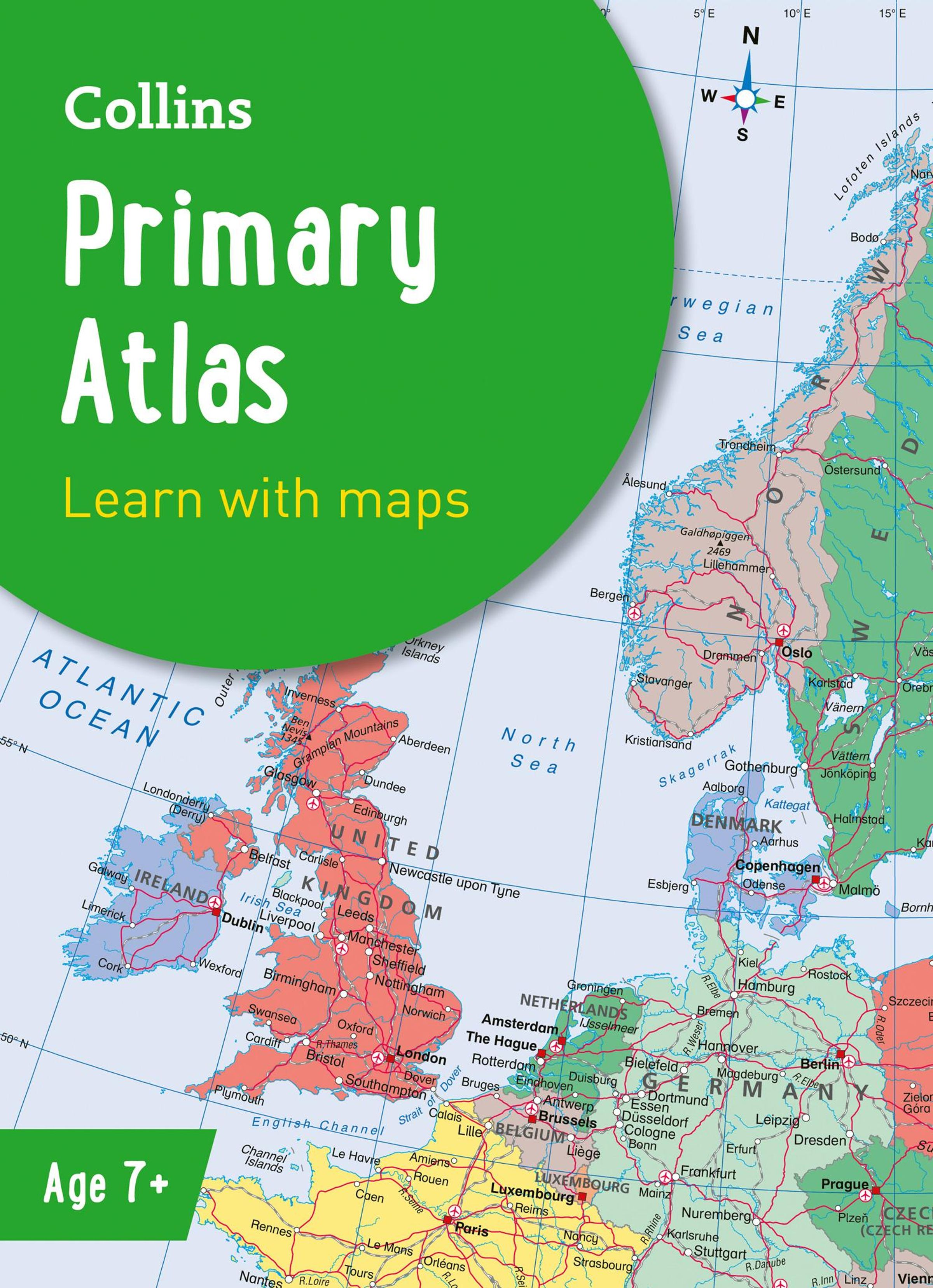
The must-have atlas for children aged 7-11
Collins Primary Atlas is a great introduction to mapping of the UK, Europe and all major regions of the world. It supports the Key Stage 2 curriculum and is suitable for children aged 7-11 years.
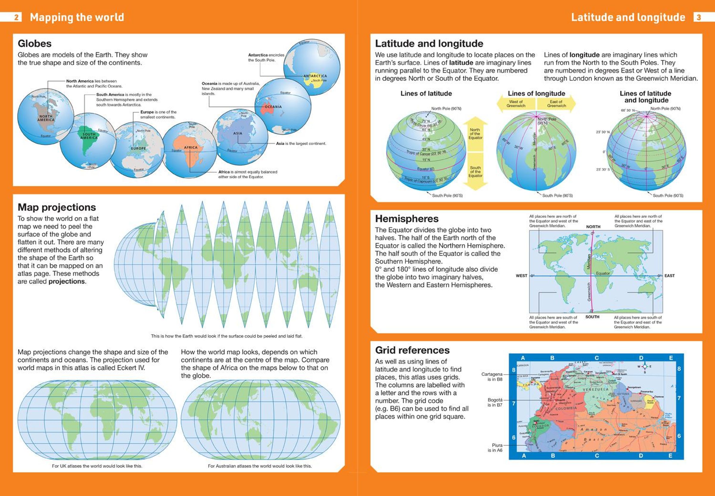
This new, fully up-to-date edition includes information on map reading skills, the meaning of scale and measuring distances, and is ideal for classroom use or home learning.
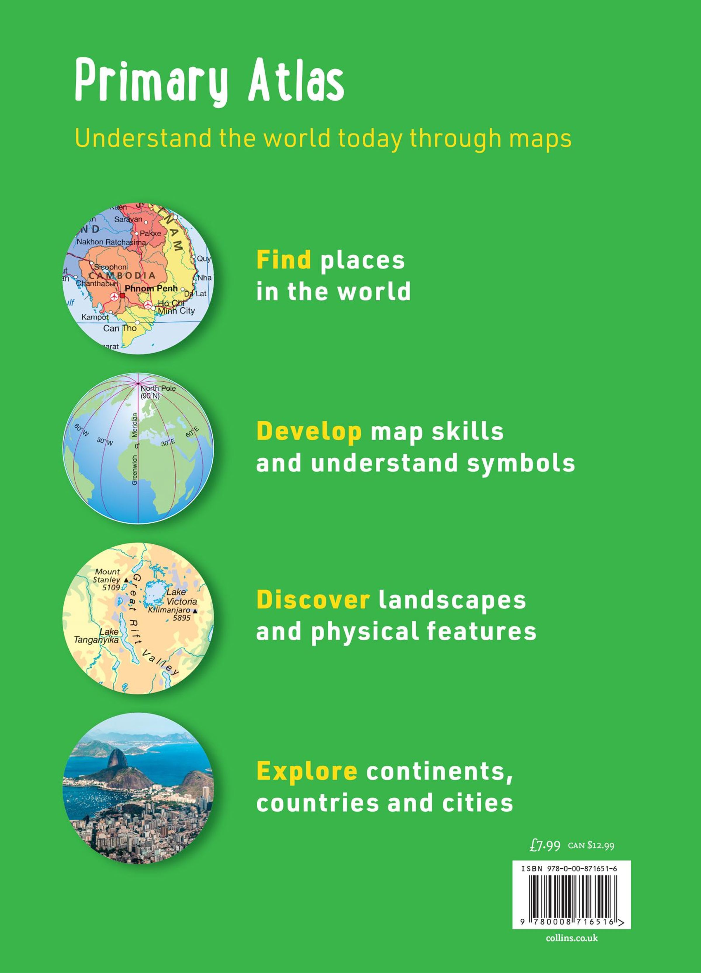
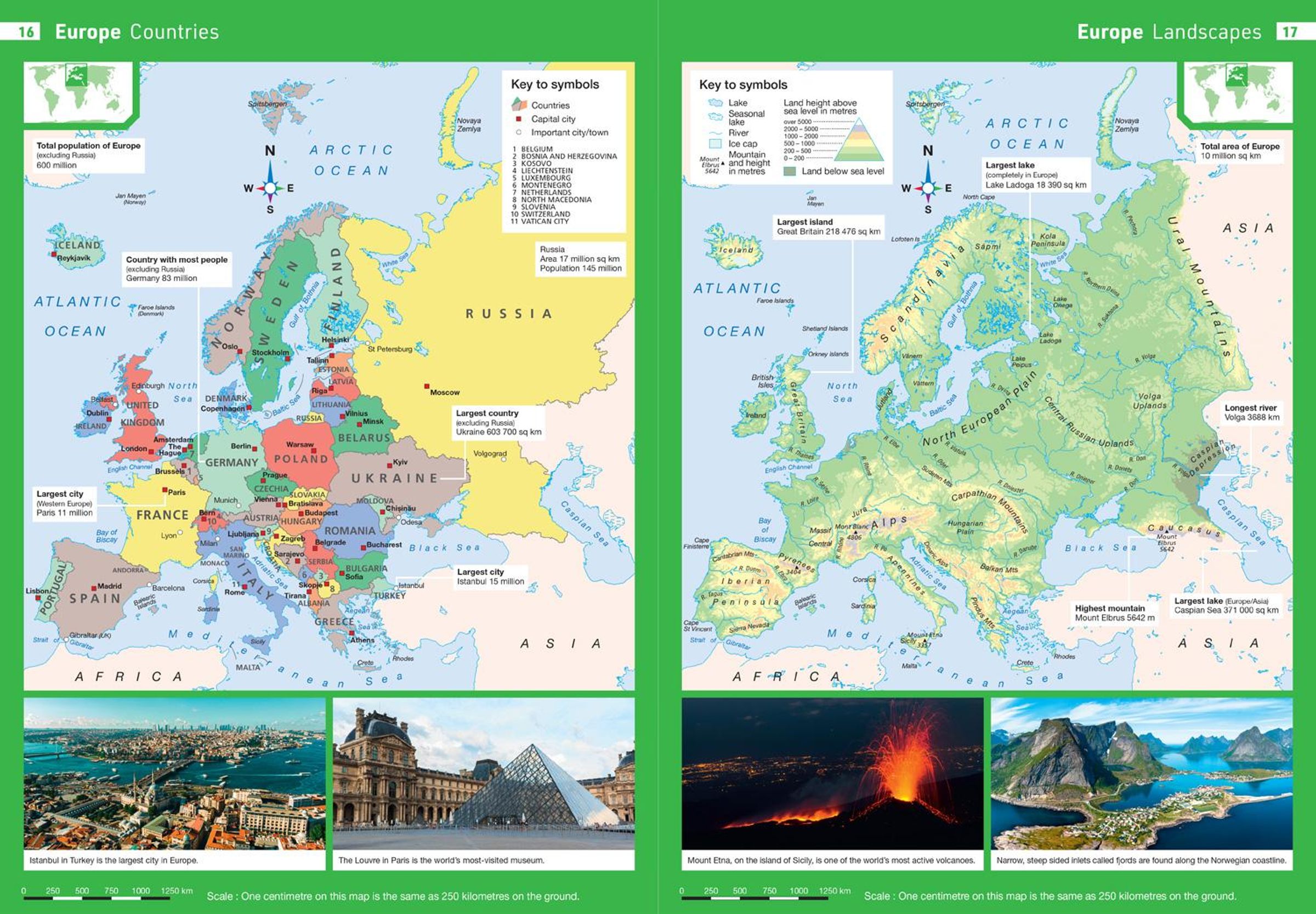
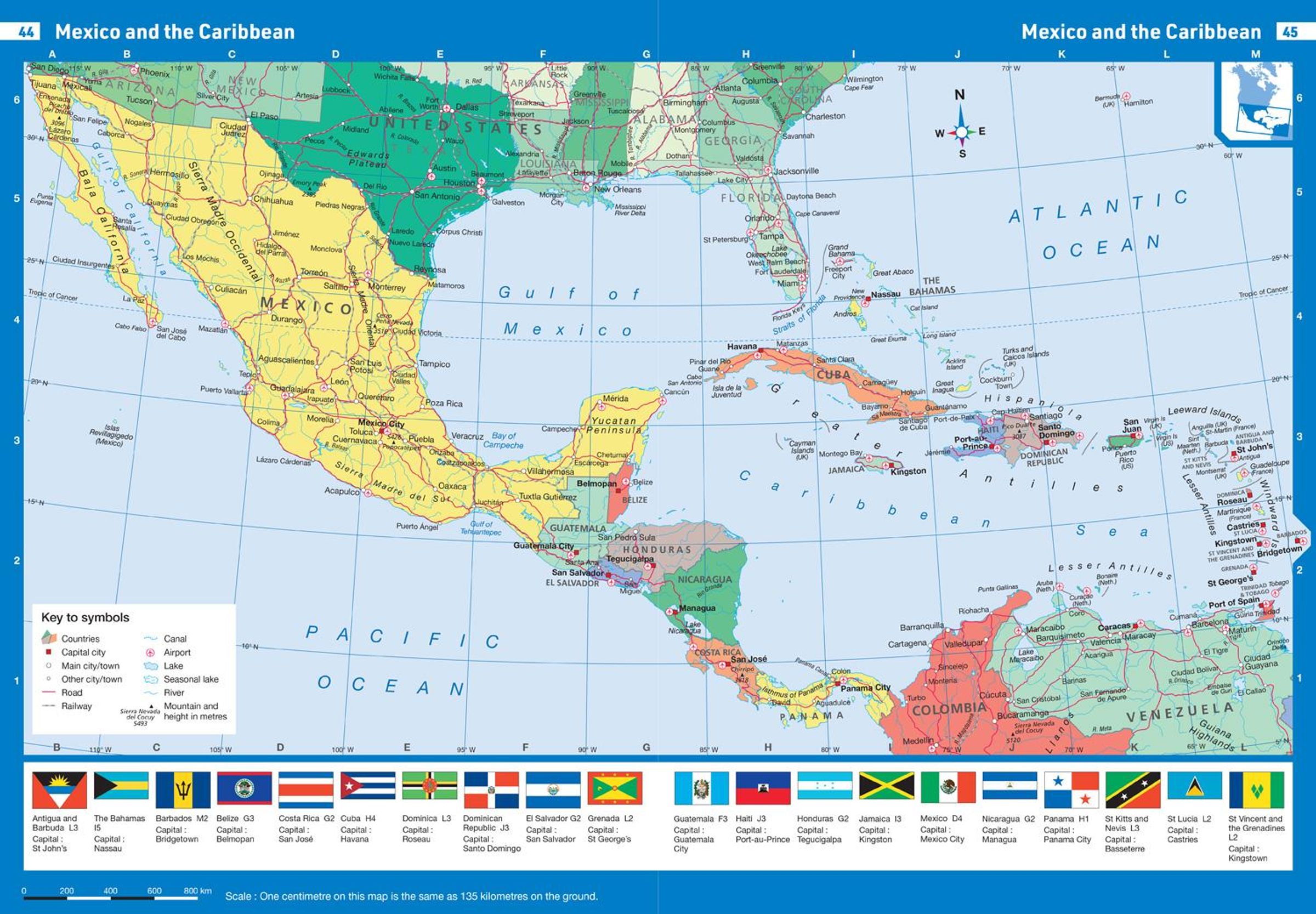
Reference maps:
¿ Informative, politically coloured and easy-to-read
¿ National capitals and major cities are clearly labelled
¿ Maps are supported with national flags and basic national statistics
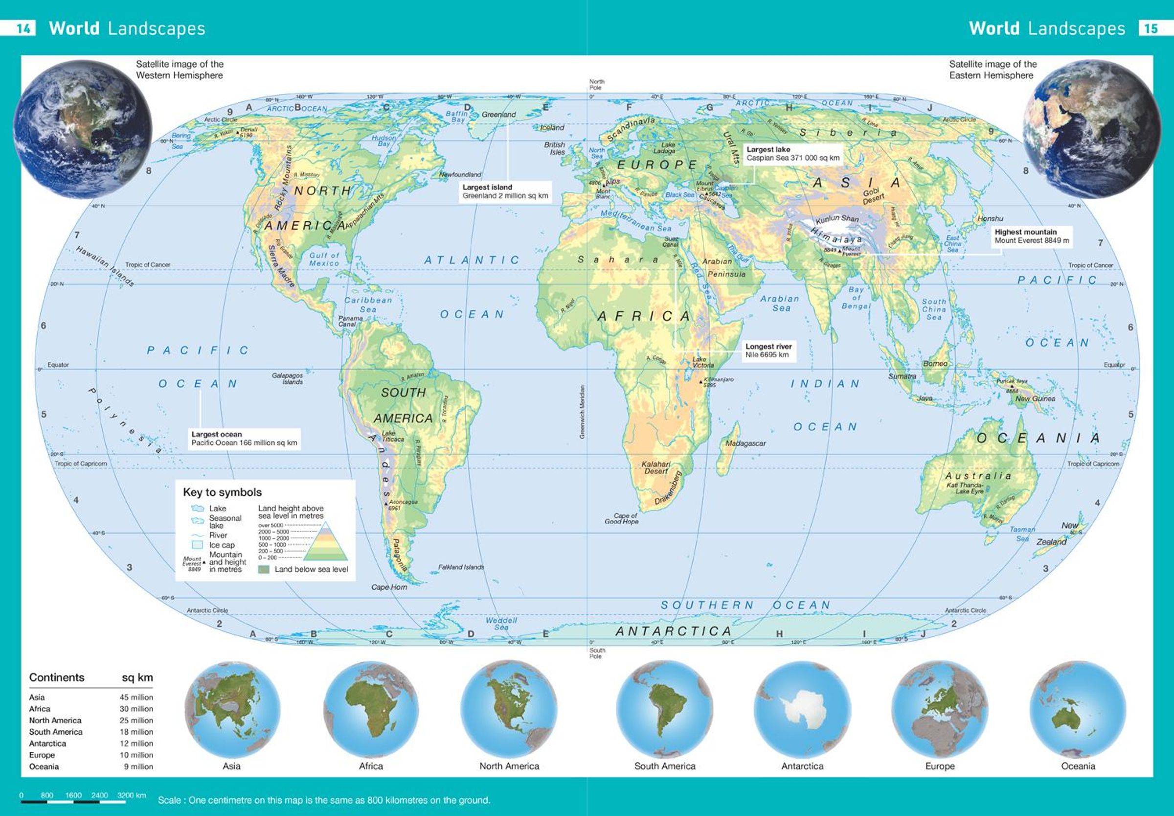
Continental maps:
¿ Linked to regional mapping
¿ Supported by a selection of aerial and terrestrial photographs
¿ Relief maps show layer colouring and highlight major physical features
This atlas is also available in a eBook format. The next atlas in the series is the Collins School Atlas, suitable for ages 11+ and KS3.
