Collins Maps: Collins 2026 Big Road Atlas Europe, Kartoniert / Broschiert
Collins 2026 Big Road Atlas Europe
Buch
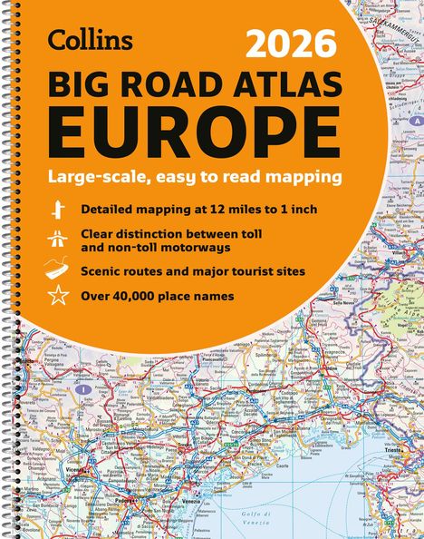
- Clear and Detailed Map of Europe in A3 Size with Spiral Binding

Lieferzeit beträgt mind. 4 Wochen
(soweit verfügbar beim Lieferanten)
(soweit verfügbar beim Lieferanten)
Aktueller Preis: EUR 20,21
Versandkosten
(United States of America): EUR 19,90
- Verlag:
- HarperCollins Publishers, 03/2025
- Einband:
- Kartoniert / Broschiert
- Sprache:
- Englisch
- ISBN-13:
- 9780008716462
- Artikelnummer:
- 11879183
- Umfang:
- 192 Seiten
- Gewicht:
- 270 g
- Maße:
- 385 x 296 mm
- Stärke:
- 12 mm
- Erscheinungstermin:
- 13.3.2025
- Hinweis
-
Achtung: Artikel ist nicht in deutscher Sprache!
Klappentext
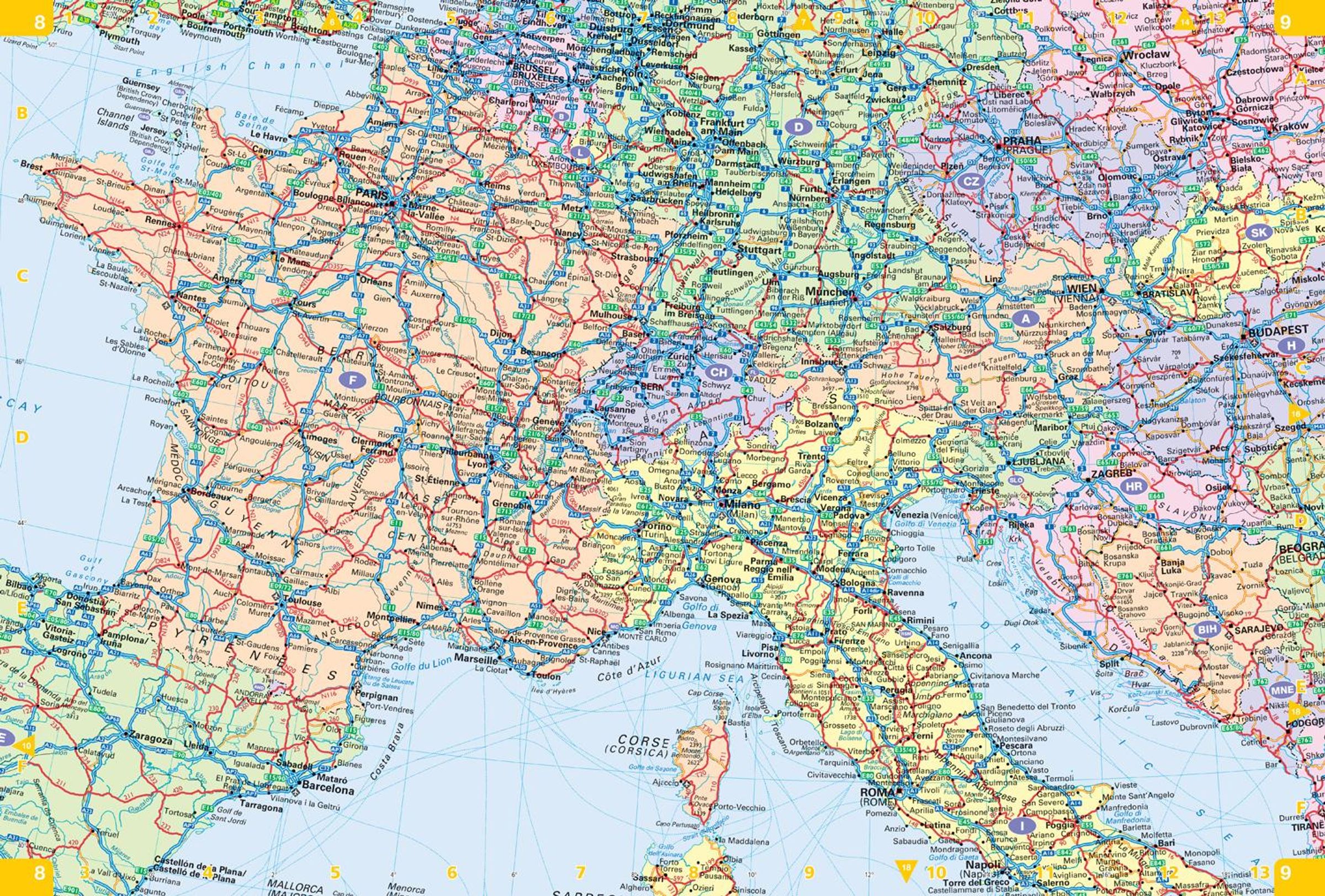
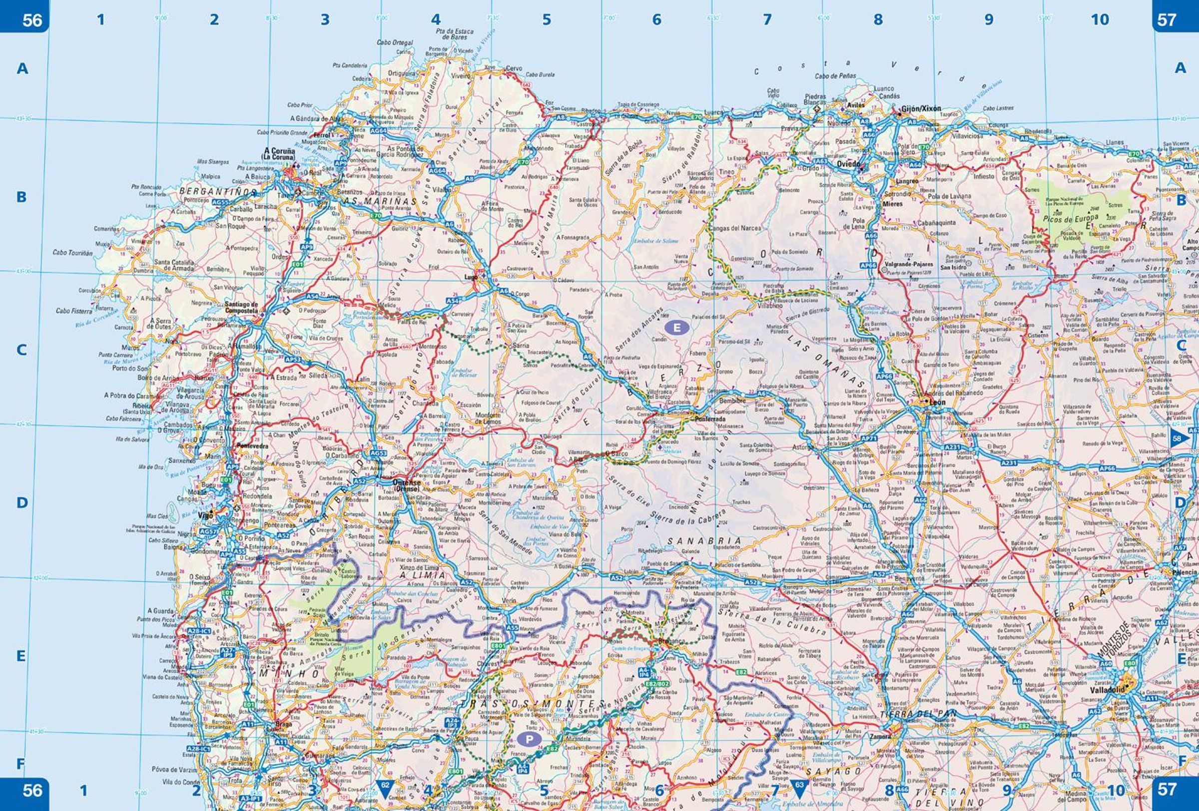
With fully-updated, large-scale mapping, there has never been an easier way to explore Europe by road.
This super-clear , detailed road mapping covers all the top European tourist destinations in a large, easy-to-read format . Bask on the French Riviera, relax in sunny Sicily or discover the Dalmatian Coast; plot any of these trips with this comprehensive and accessible A3, spiral-bound atlas.
With main mapping at a scale of 12 miles to the inch, this Road Atlas of Europe is our clearest yet.
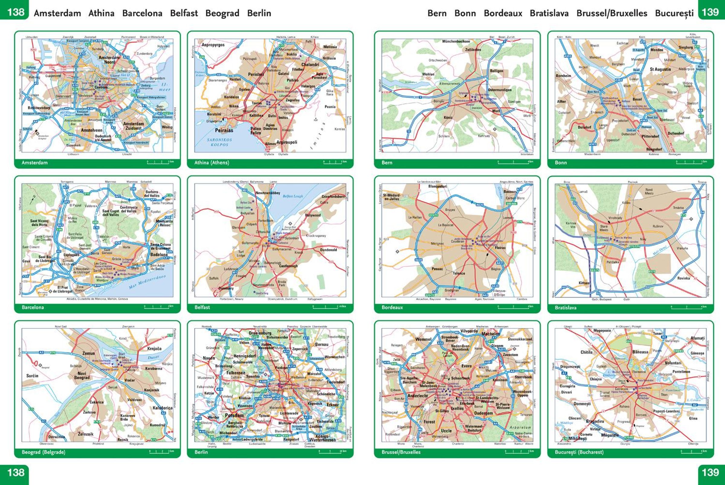
Main features
- 116super-size main mapping pages
- 12 additional pages of route planning mapping for long distances
- Accessible, large print font
- Clarifies toll and toll free motorways for ease of use
- Scenic routes identified and highlighted
- Easy-to-use, large A3 size with handy spiral binding
- Full road classification
- Local town and city names match up with local road signs to aid navigation
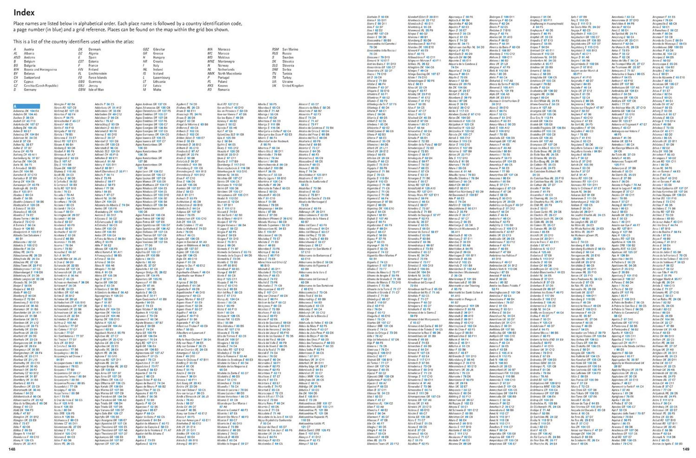
- Legible and easy to read index
- Major European routes shown
Coverage of the whole of Europe at route planning scale with super-scale mapping of mainland Europe from France and Spain in the west, through Germany and Italy, to Poland, the Balkans and Greece in the Southeast.
Mapping Scales
- 116 pages of super-scale mapping - 12 miles to the inch (1: 760, 000)
- 12 pages of route planning maps - 55 miles to the inch (1: 3, 500, 000)
Collins Maps
Collins 2026 Big Road Atlas Europe
Aktueller Preis: EUR 20,21