Cleveland Way map booklet, Kartoniert / Broschiert
Cleveland Way map booklet

(soweit verfügbar beim Lieferanten)
- Herausgeber:
- Jacquetta Megarry
- Verlag:
- Rucksack Readers, 07/2026
- Einband:
- Kartoniert / Broschiert
- Sprache:
- Englisch
- ISBN-13:
- 9781913817404
- Artikelnummer:
- 12648283
- Umfang:
- 40 Seiten
- Gewicht:
- 45 g
- Maße:
- 120 x 30 mm
- Stärke:
- 2 mm
- Erscheinungstermin:
- 15.7.2026
- Hinweis
-
Achtung: Artikel ist nicht in deutscher Sprache!
Klappentext
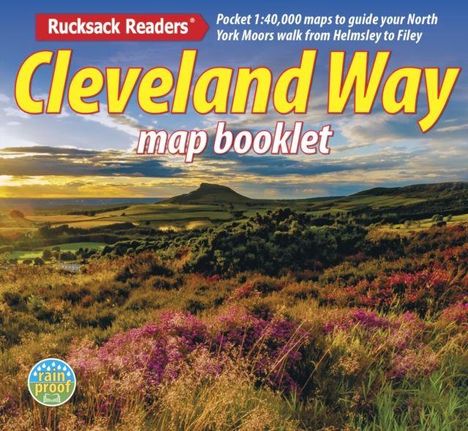
The Cleveland Way is one of England's oldest and best-loved National Trails. It runs for 108 miles (174 km) around the North York Moors National Park, starting inland at Helmsley, offering panoramic views over the vales of York and Mowbray and from the Cleveland Hills. After reaching the coast at Saltburn, it heads south along the dramatic sea cliffs, with their tales of shipwrecks and smugglers, to end at Filey. The route features prehistoric burial mounds, ancient castles, abbeys and Roman remains, with more recent traces of industrial history. Vast areas of heather moorland are host to intriguing wildlife. The Cleveland Way is easily accessible by public transport and is divided into easy stages by villages of character with friendly pubs and accommodation. Above all, the walker is welcomed with warm Yorkshire hospitality. This map booklet makes the perfect pocket partner: keep it handy so you can check you are on the trail at all times. Its features include: mapping updated in 2026 mileage markers every mile, with km grid throughout accommodation, refreshments and points of interest clearly marked custom, clear mapping at 1: 40, 000 lightweight (45 grams) and opens flat printed on rainproof paper.