A-Z Maps: Portsmouth A-Z Street Atlas, Kartoniert / Broschiert
Portsmouth A-Z Street Atlas
- Navigate Your Way Around Portsmouth with Ease Using Trusted Mapping
(soweit verfügbar beim Lieferanten)
- Verlag:
- HarperCollins Publishers, 05/2025
- Einband:
- Kartoniert / Broschiert
- Sprache:
- Englisch
- ISBN-13:
- 9780008730864
- Artikelnummer:
- 11892530
- Umfang:
- 96 Seiten
- Ausgabe:
- Tenth edition
- Gewicht:
- 270 g
- Maße:
- 215 x 149 mm
- Stärke:
- 6 mm
- Erscheinungstermin:
- 22.5.2025
- Hinweis
-
Achtung: Artikel ist nicht in deutscher Sprache!
Weitere Ausgaben von Portsmouth A-Z Street Atlas |
Preis |
|---|
Klappentext
Navigate your way around Portsmouth with this detailed and easy-to-use A-Z Street Atlas.
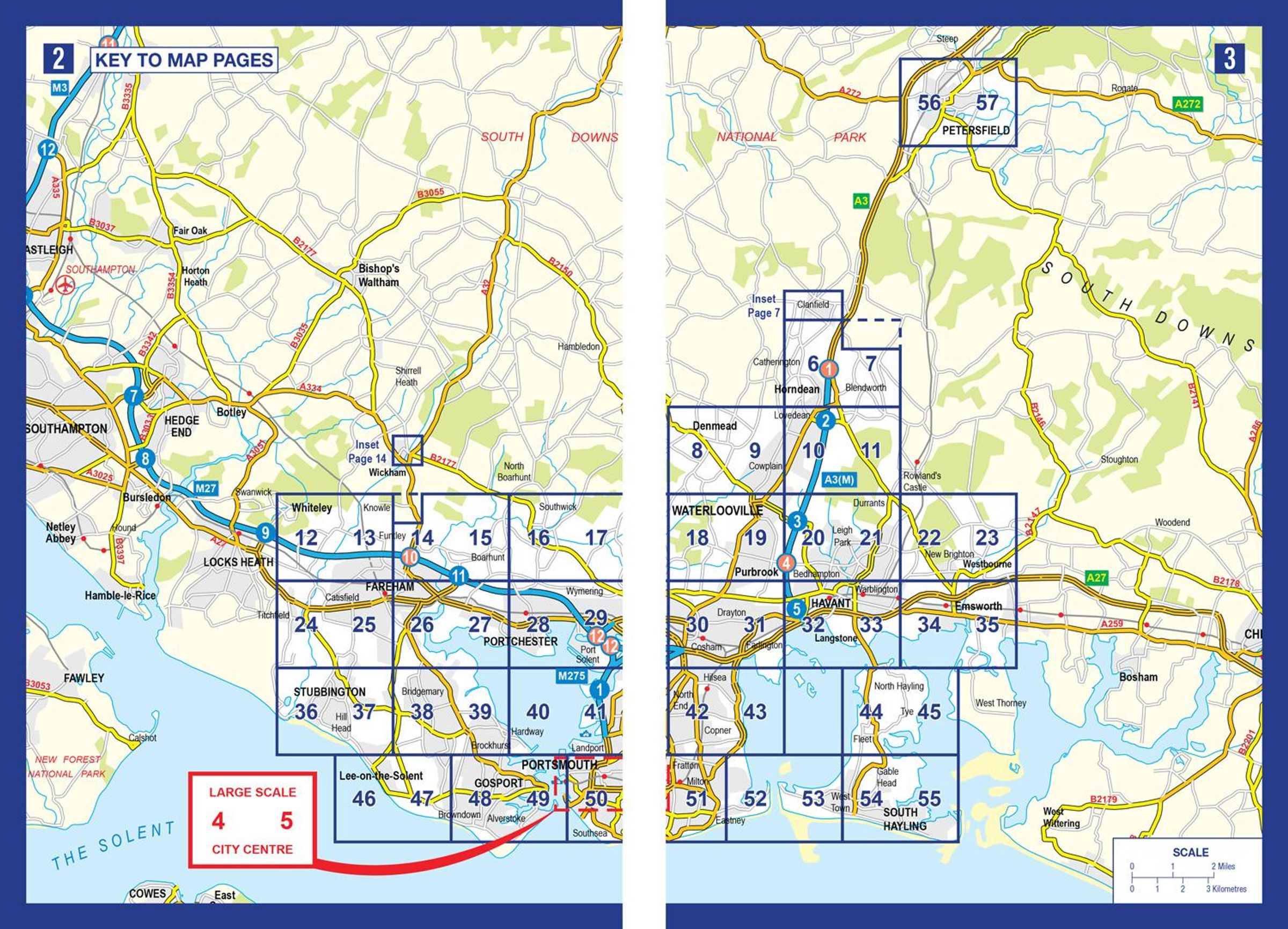
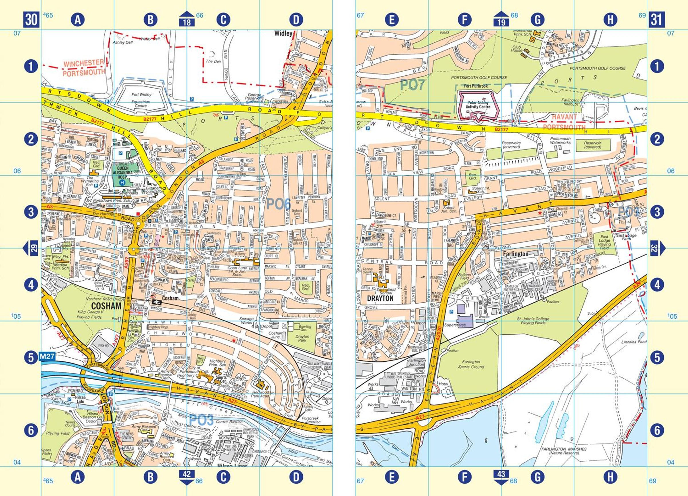
Printed in full-colour, paperback format, this atlas contains 54 pages of continuous street mapping.
The main mapping extends beyond central Portsmouth at a scale of 4 inches to 1 mile, featuring postcode districts, one-way streets, park and ride sites, and safety camera locations. Areas covered include:
Fareham
Gosport
Havant
Horndean
Waterlooville
Emsworth
Hayling Island
Portsea Island
Cosham
Lee-on-the-Solent
Stubbington
Portchester
Wickham and Clanfield (inset)
Separate coverage of Petersfeld is provided.
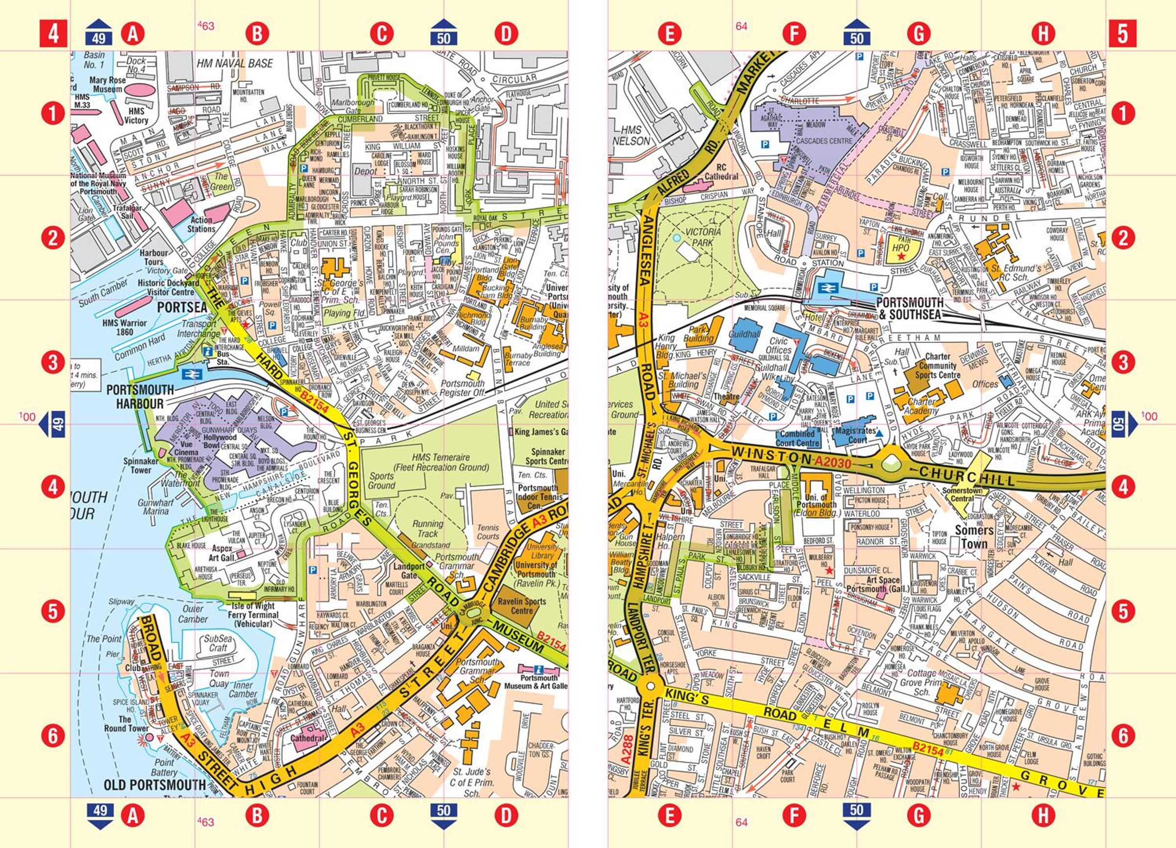
The large-scale street map of Portsmouth city centre - at a scale of 8 inches to 1 mile - includes:
Places of Interest Guide, highlighting historic maritime tourist attractions to modern-day landmarks
Postcode map of the Portsmouth area
Road map of the Portsmouth area
South Downs National Park boundaries
A comprehensive index lists streets, selected flats, walkways and places of interest, place, area and station names. Additional healthcare (hospitals, walk-in centres and hospices) are indexed as well.
