A-Z Maps: Manchester A-Z Street Atlas, Kartoniert / Broschiert
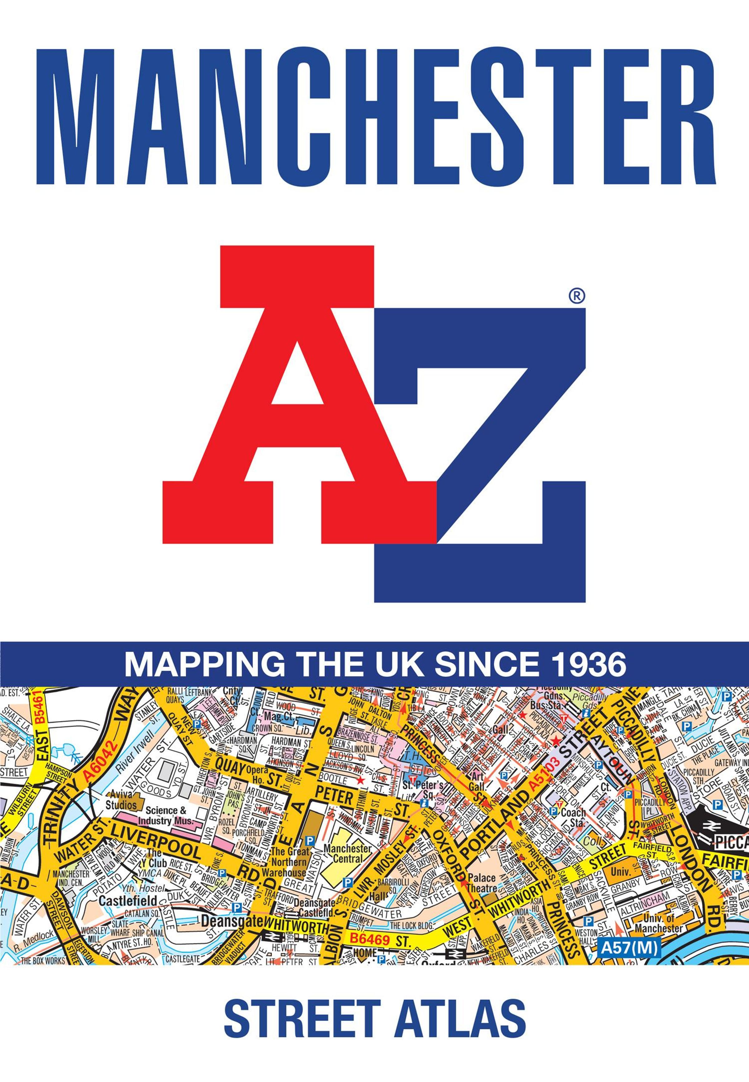
Manchester A-Z Street Atlas
Buch
- Accurate Street Map for Easy Navigation (A5)
Lieferzeit beträgt mind. 4 Wochen
(soweit verfügbar beim Lieferanten)
(soweit verfügbar beim Lieferanten)
Aktueller Preis: EUR 12,23
Versandkosten
(United States of America): EUR 19,90
- Verlag:
- HarperCollins Publishers, 04/2026
- Einband:
- Kartoniert / Broschiert
- Sprache:
- Englisch
- ISBN-13:
- 9780008780722
- Artikelnummer:
- 12355856
- Umfang:
- 144 Seiten
- Ausgabe:
- New
- Gewicht:
- 270 g
- Maße:
- 215 x 149 mm
- Stärke:
- 9 mm
- Erscheinungstermin:
- 23.4.2026
- Hinweis
-
Achtung: Artikel ist nicht in deutscher Sprache!
Klappentext
Navigate your way around Manchester with this detailed and easy-to-use A-Z Street Atlas.
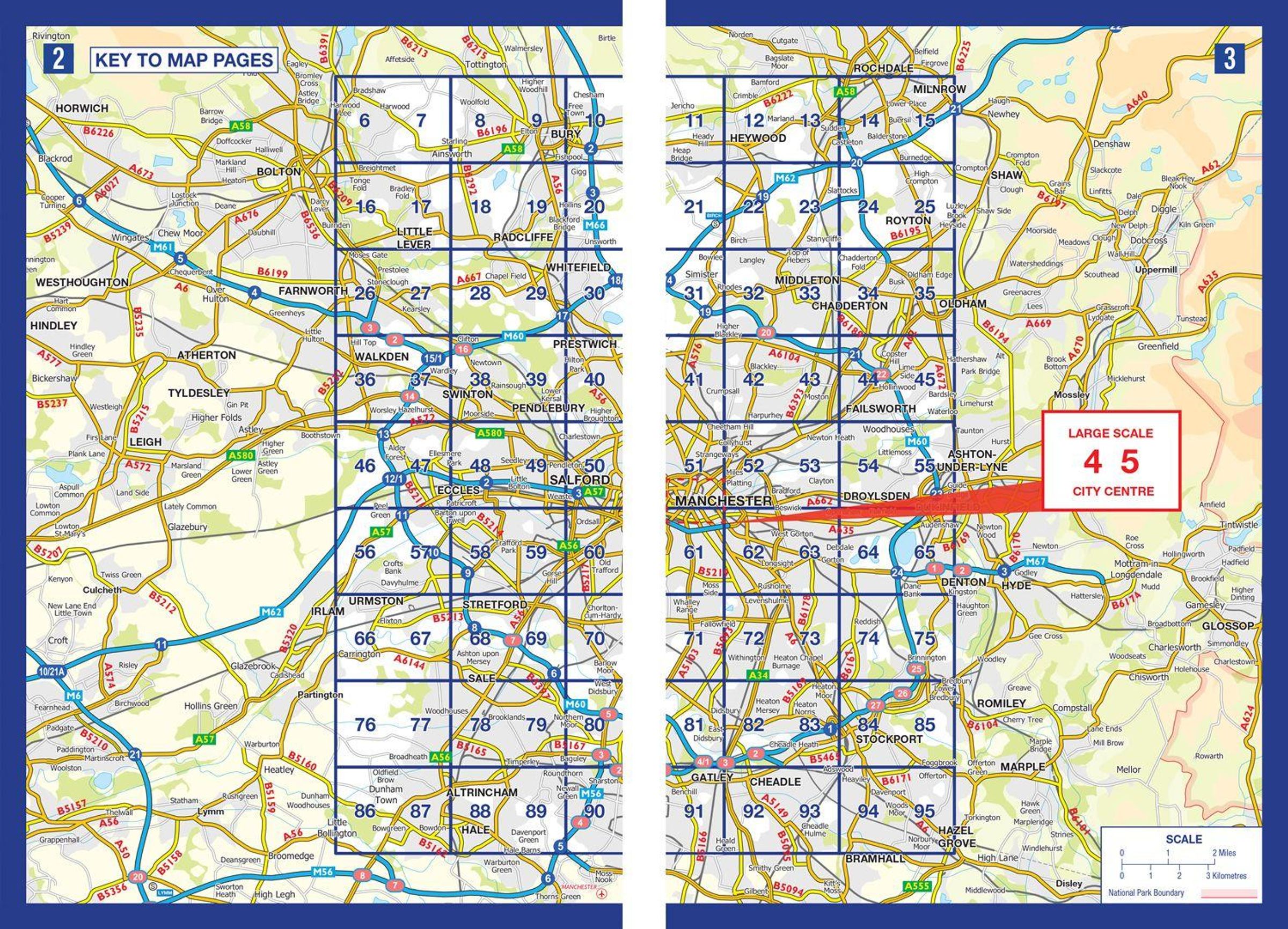
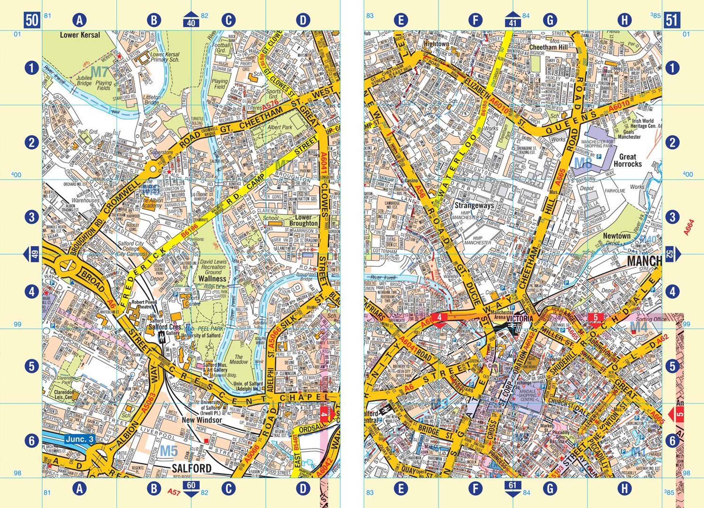
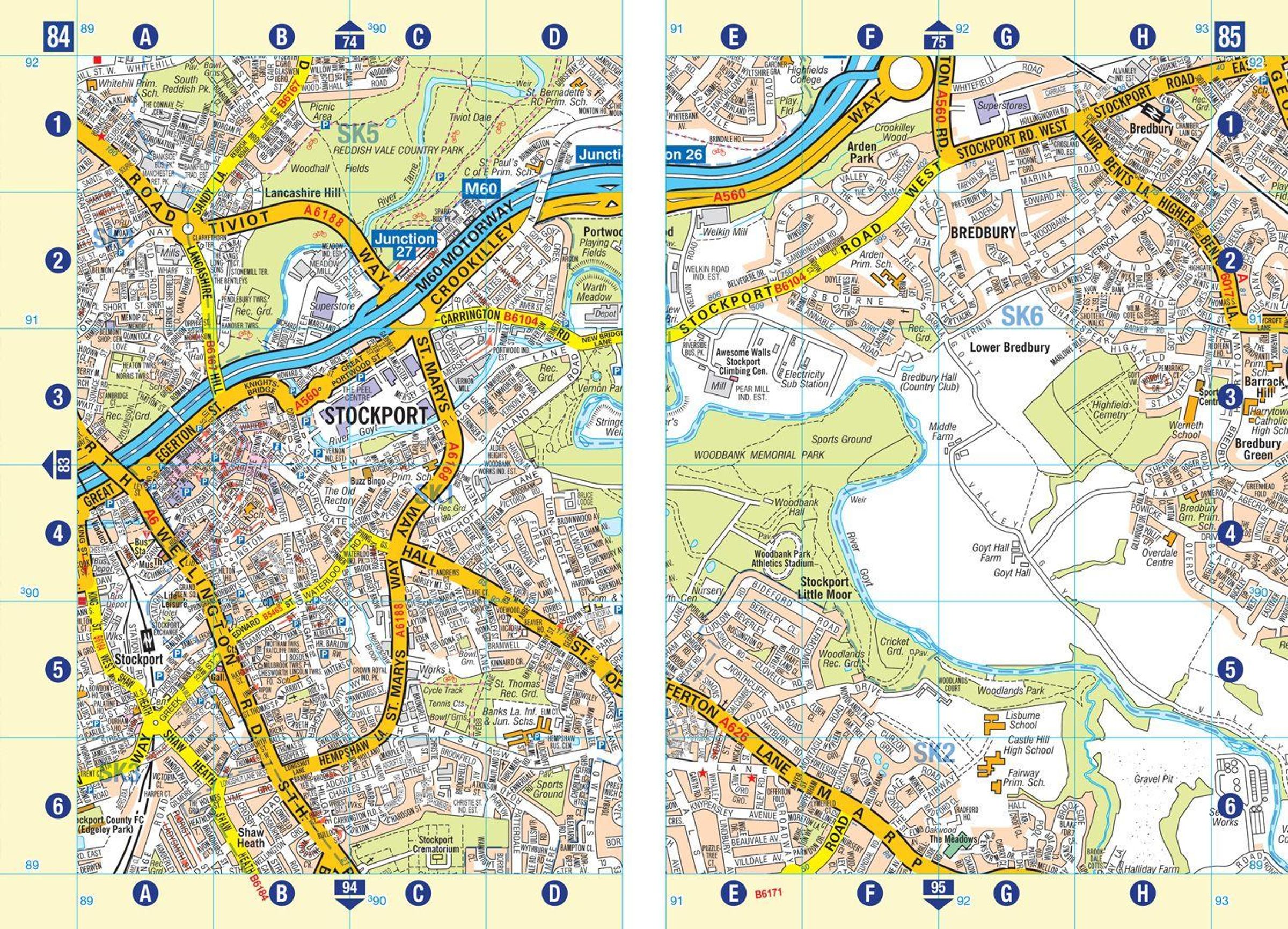
Printed in full-colour, paperback format, this atlas contains more than 90 pages of continuous street mapping in a NEW A5 format for ease of use.
Coverage extends to: Haywood in the north, Droyslsden in the east, Altringham in the south, and Walkden in the west. Additional pages cover the city centre with large-scale mapping. Postcode districts, one-way streets and National Park boundaries are also featured on the mapping.
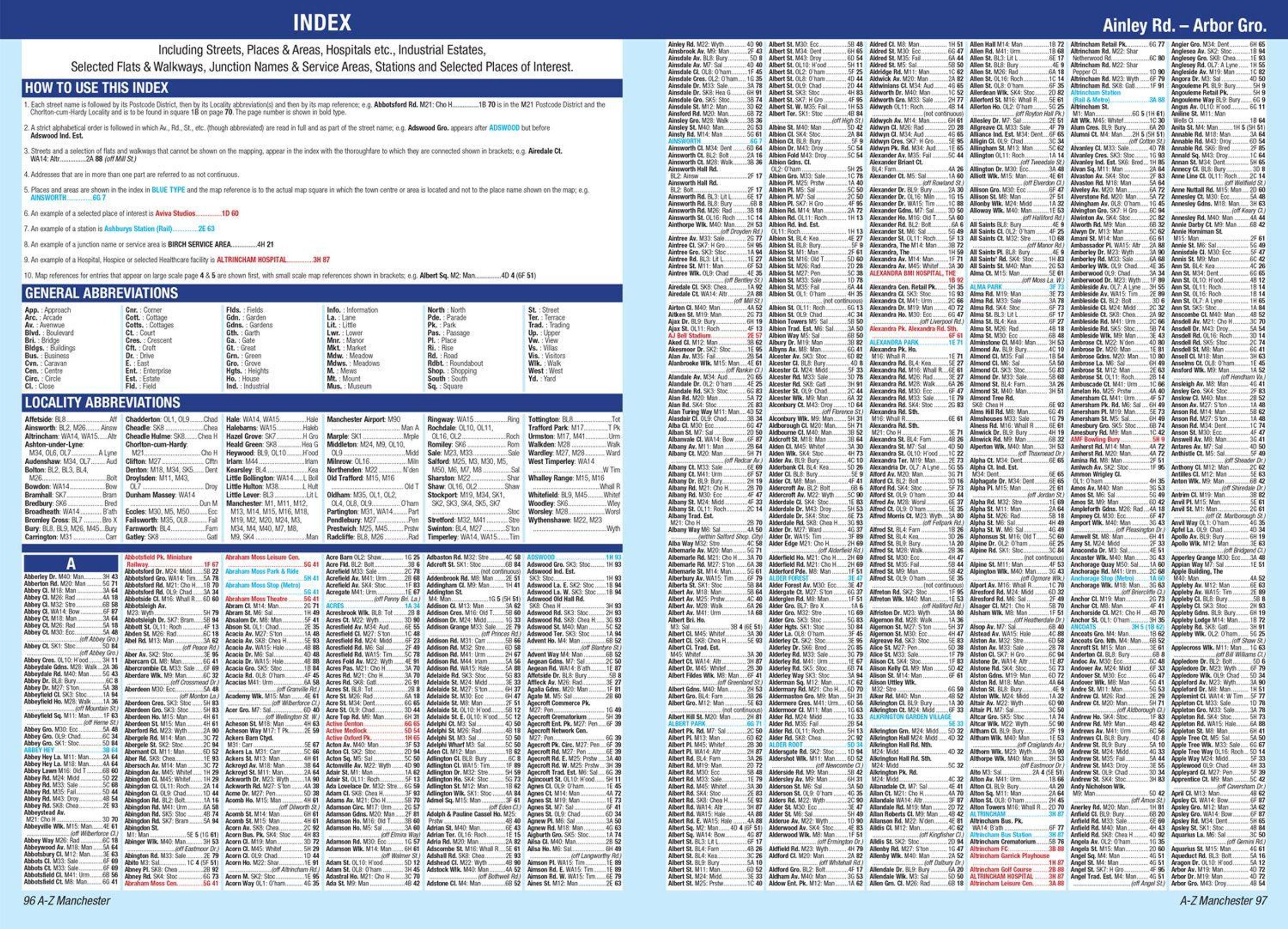
The index section lists streets, selected flats, walkways and places of interest, place and area names, National Rail and Metrolink station names, hospitals, hospices and NHS Walk-in Centres.
A-Z Maps
Manchester A-Z Street Atlas
Aktueller Preis: EUR 12,23