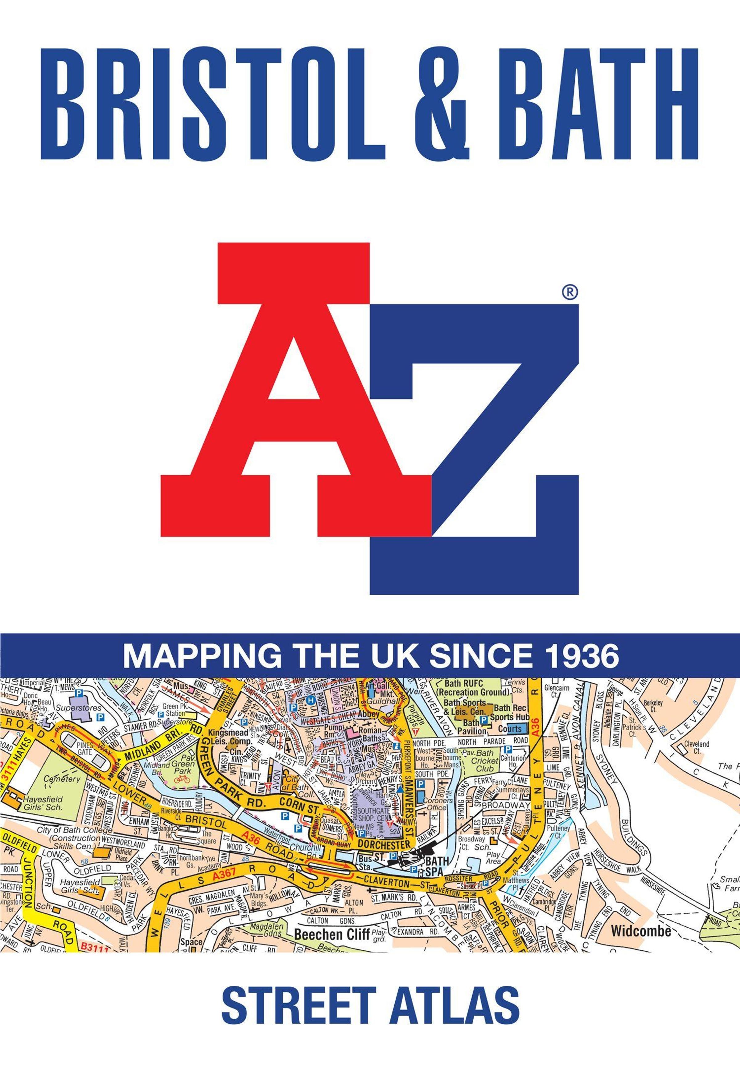
A-Z Maps: Bristol and Bath A-Z Street Atlas, Kartoniert / Broschiert
Bristol and Bath A-Z Street Atlas
Buch
- Accurate Street Map for Easy Navigation (A5)


Lieferzeit beträgt mind. 4 Wochen
(soweit verfügbar beim Lieferanten)
(soweit verfügbar beim Lieferanten)
Aktueller Preis: EUR 12,23
Versandkosten
(United States of America): EUR 19,90
- Verlag:
- HarperCollins Publishers, 05/2026
- Einband:
- Kartoniert / Broschiert
- Sprache:
- Englisch
- ISBN-13:
- 9780008780746
- Artikelnummer:
- 12336407
- Umfang:
- 144 Seiten
- Nummer der Auflage:
- 26008
- Ausgabe:
- 8 Revised edition
- Gewicht:
- 270 g
- Maße:
- 215 x 149 mm
- Stärke:
- 11 mm
- Erscheinungstermin:
- 21.5.2026
- Hinweis
-
Achtung: Artikel ist nicht in deutscher Sprache!
Weitere Ausgaben von Bristol and Bath A-Z Street Atlas |
Preis |
|---|
Klappentext
Navigate your way around Bristol and Bath with this detailed and easy-to-use A-Z Street Atlas.
Printed in full-colour, paperback format, this atlas contains 96 pages of continuous street mapping in a NEW A5 format for ease of use.
Areas covered include: Olvestone, Avonmouth, Patchway, Kingswood, Keynsham, Dundry, Frampton Cotterall, and Bradford-on-Avon.
Also included are large scale city centre maps of both Bristol and Bath.
A comprehensive index lists streets, selected flats, walkways and places of interest, place, area and station names. Additional healthcare (hospitals, walk-in centres and hospices) and transport connections are indexed as well.
A-Z Maps
Bristol and Bath A-Z Street Atlas
Aktueller Preis: EUR 12,23