A-Z Maps: Birmingham A-Z Street Atlas, Kartoniert / Broschiert
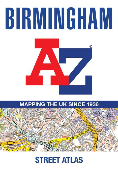
Birmingham A-Z Street Atlas
Buch
- Accurate Street Map for Easy Navigation (A5)

Lieferzeit beträgt mind. 4 Wochen
(soweit verfügbar beim Lieferanten)
(soweit verfügbar beim Lieferanten)
Aktueller Preis: EUR 12,23
Versandkosten
(United States of America): EUR 19,90
- Verlag:
- HarperCollins Publishers, 04/2026
- Einband:
- Kartoniert / Broschiert
- Sprache:
- Englisch
- ISBN-13:
- 9780008780739
- Artikelnummer:
- 12355858
- Umfang:
- 144 Seiten
- Nummer der Auflage:
- 26009
- Ausgabe:
- 9 Revised edition
- Gewicht:
- 270 g
- Maße:
- 215 x 149 mm
- Stärke:
- 9 mm
- Erscheinungstermin:
- 23.4.2026
- Hinweis
-
Achtung: Artikel ist nicht in deutscher Sprache!
Klappentext
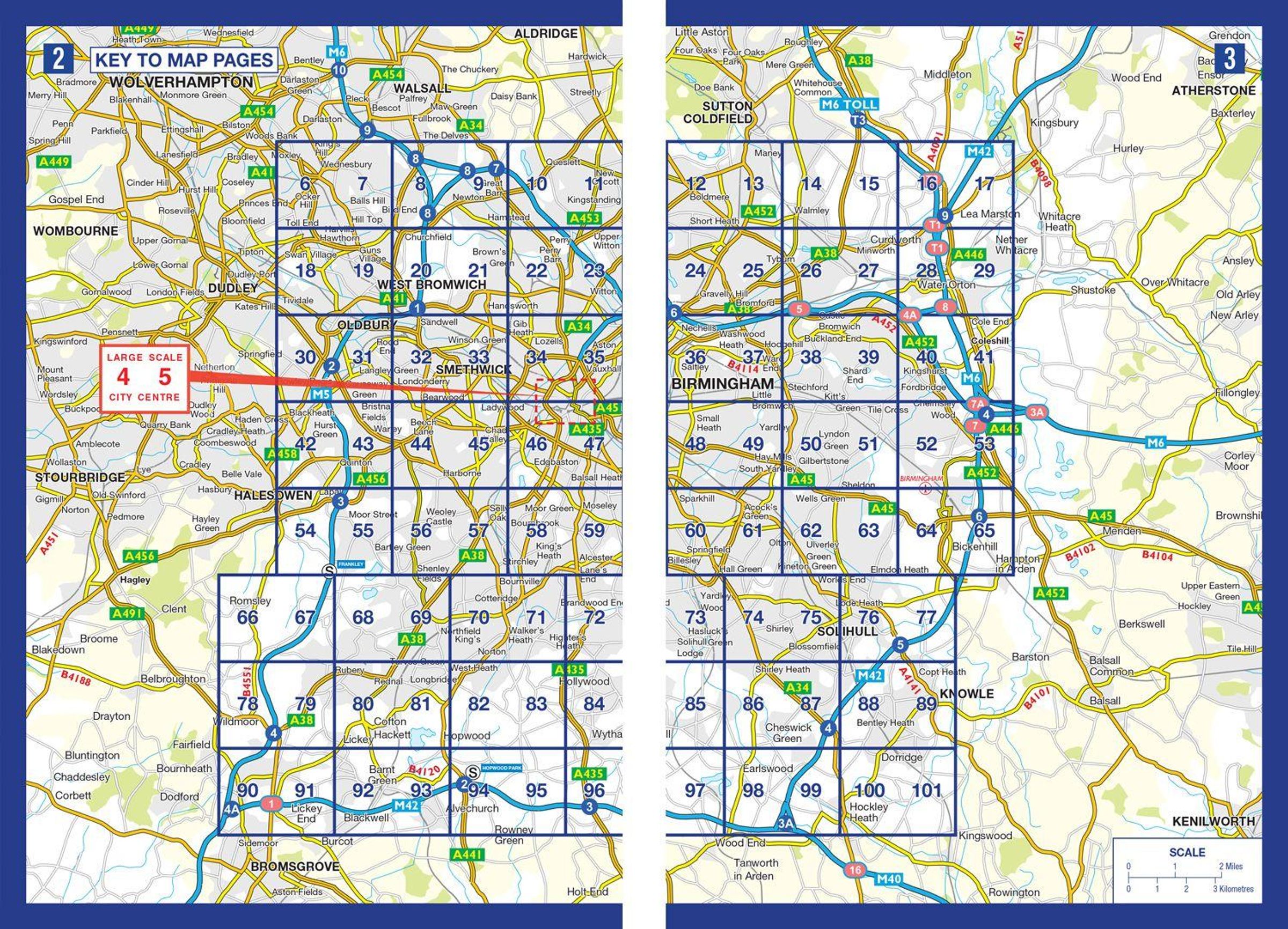
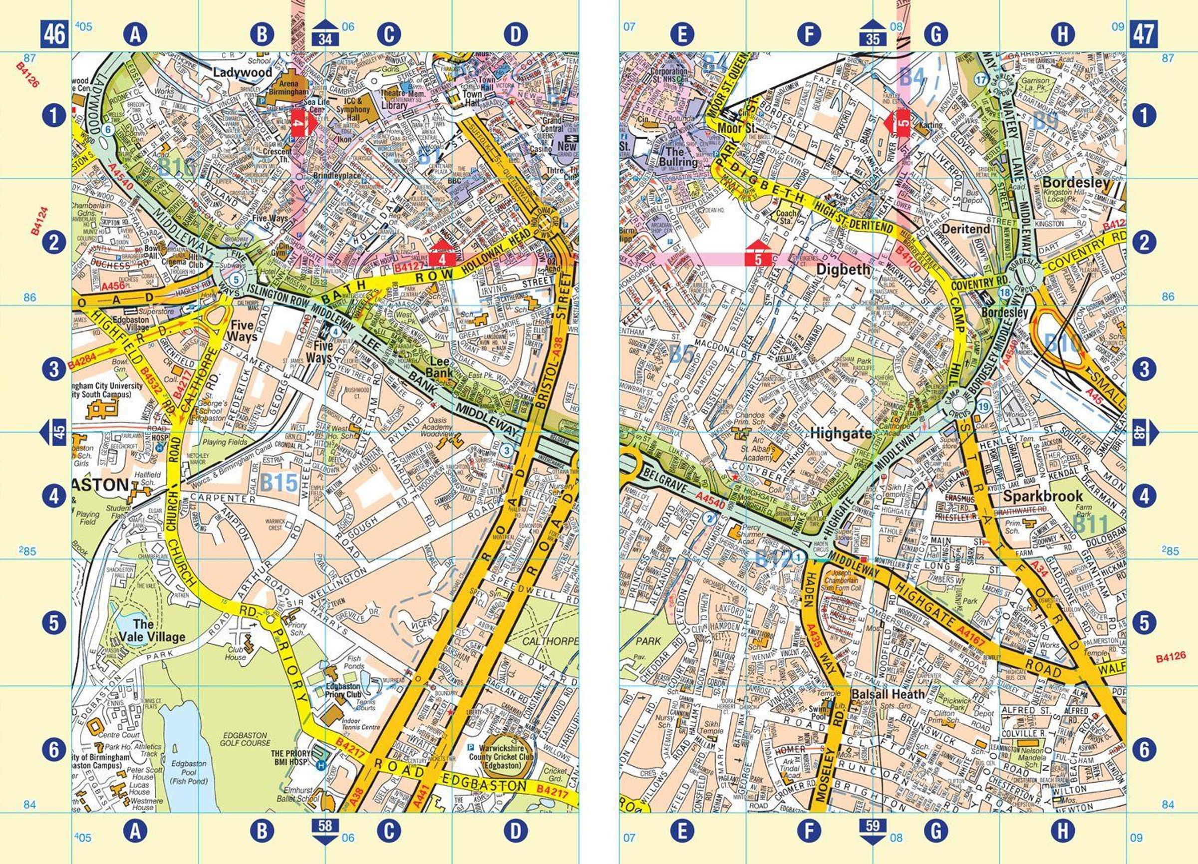
Navigate your way around Birmingham with this detailed and easy-to-use A-Z Street Atlas.
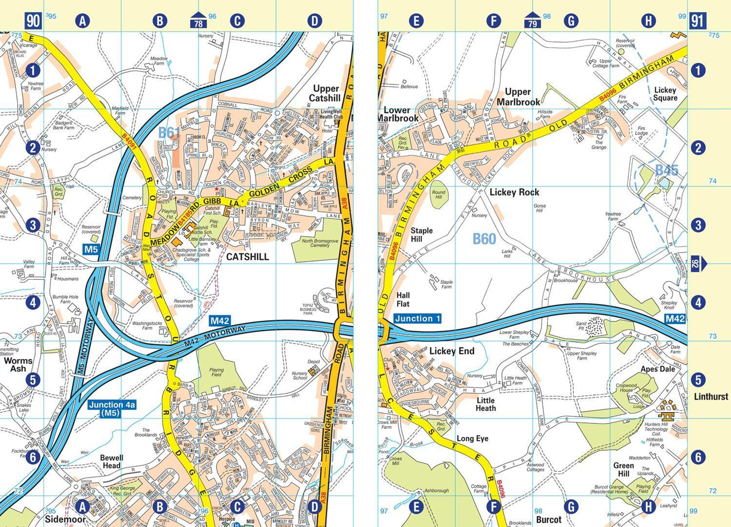
Printed in full-colour, paperback format, this atlas contains 96 pages of continuous street mapping in a NEW A5 format for ease of use.
Coverage extends to include: Wednesbury, Coleshill, Knowle, Alvechurch, Rubery, Smethick, and West Bromwich.
There are large scale city centre maps of Birmingham and Wolverhampton and a West Midlands rail and Midland Metro transport connections map.
Postcode districts and one-way streets are featured on the mapping.
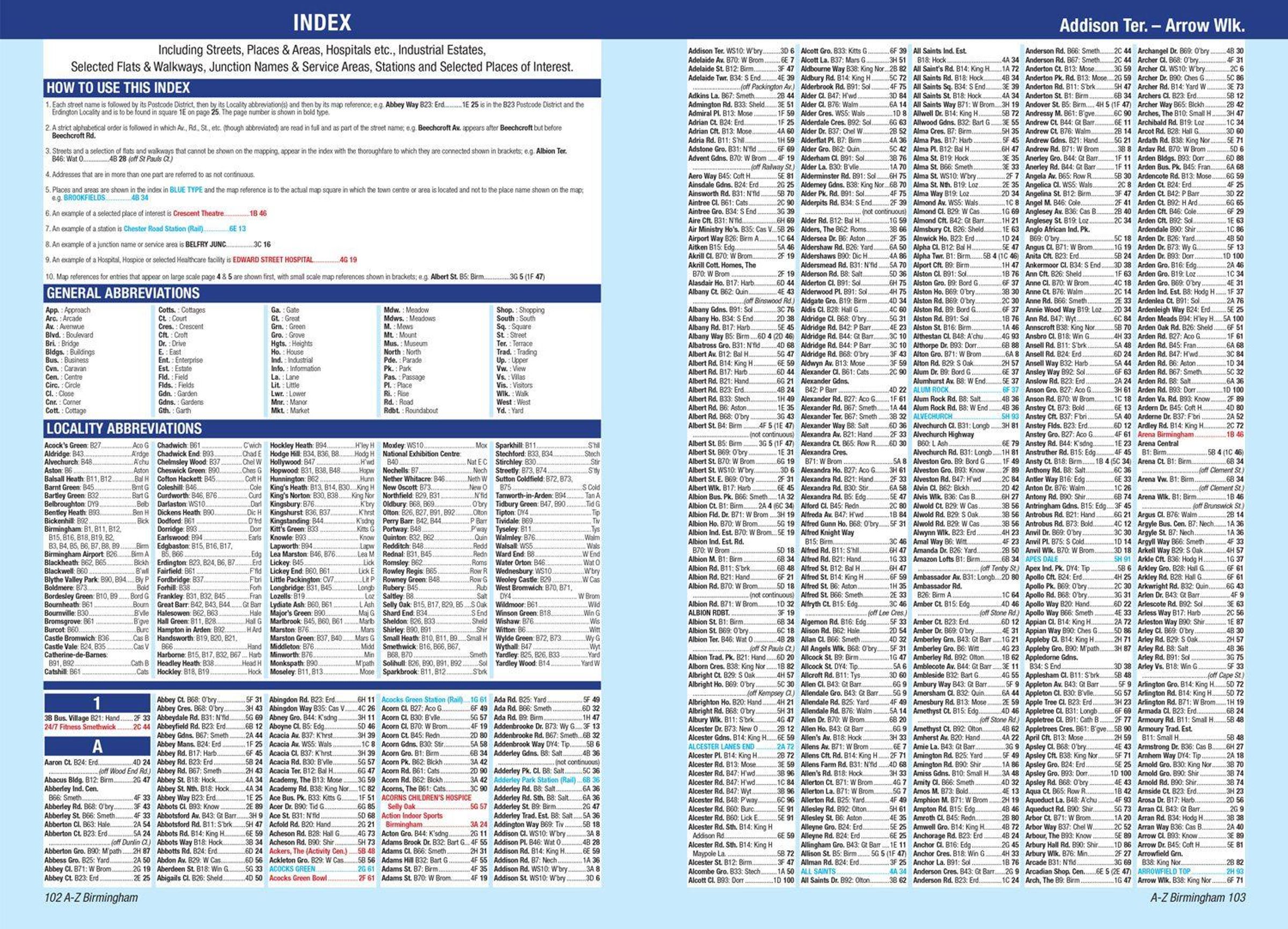
The index section lists streets; selected flats, walkways and places of interest; place and area names; National Rail and Midland Metro stations; hospitals, NHS Walk-in Centres and hospices.
A-Z Maps
Birmingham A-Z Street Atlas
Aktueller Preis: EUR 12,23